
Cordel
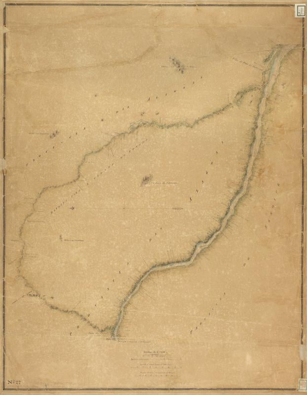
Historical map of the Cordel region
Historical map that represents the region associated with cordel literature in Northeast Brazil. The cartographic piece is relevant to the study of the cultural and geographical circulation of cordel, a form of popular literature that uses woodcuts as a visual identity. The map offers insights into the spatial distribution and cultural influences in the production and diffusion of cordel, highlighting the intersection between geography and popular culture in Brazil.
Cite this record
CASCA Archive. Mapa histórico da região do Cordel. Record #247. https://casca-archive.org/items/show/247
Permanent link · Terms of use